My Works
Who I Am
Contact
My Works
Who I Am
Contact
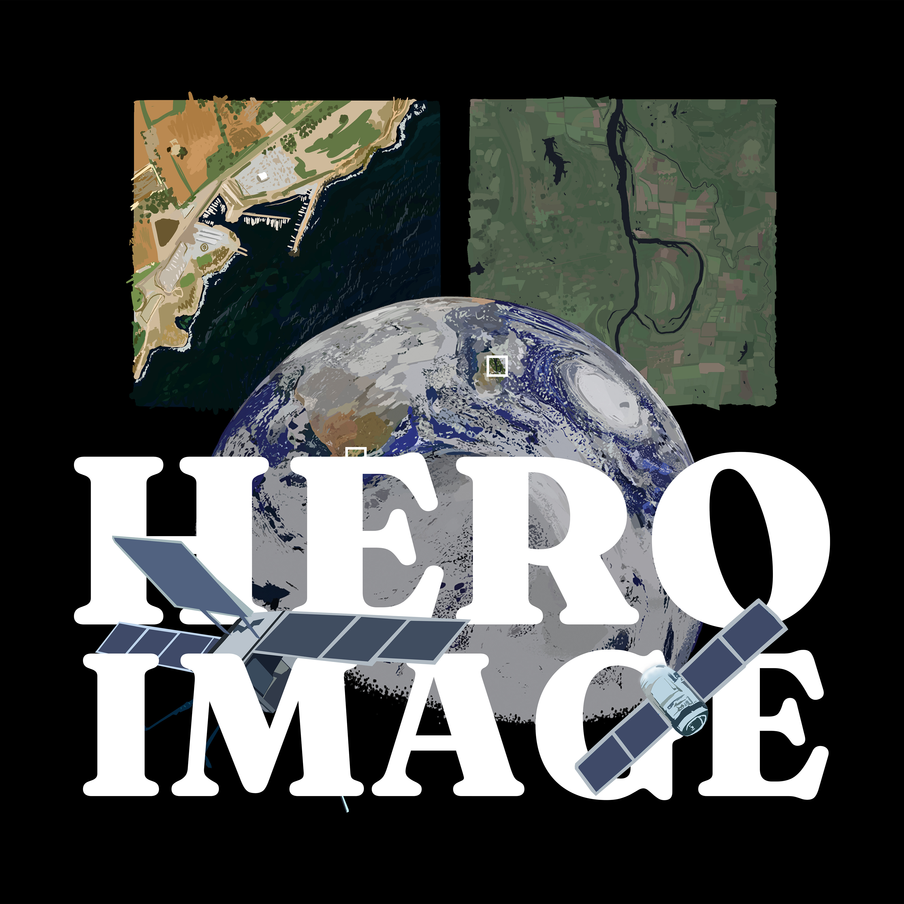
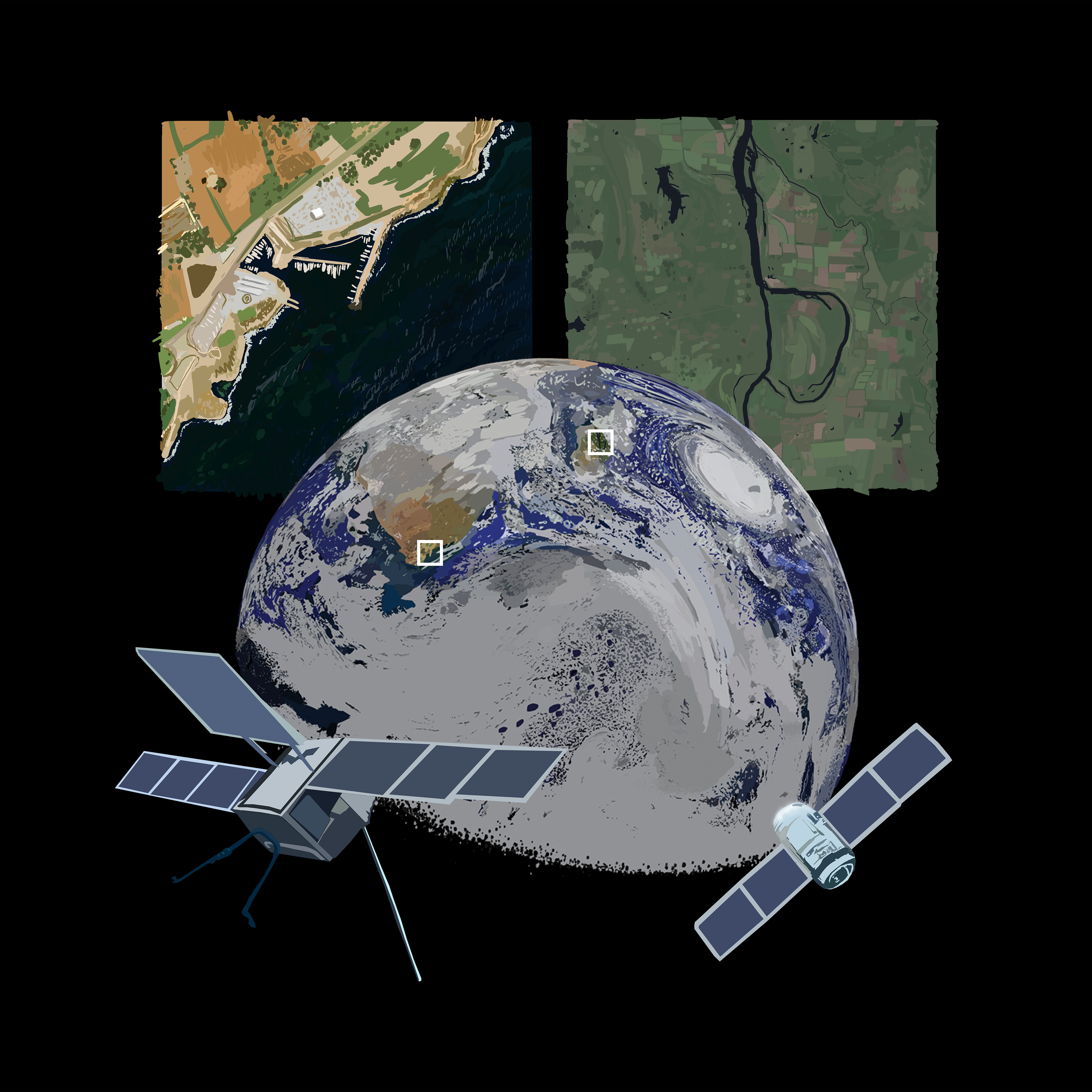
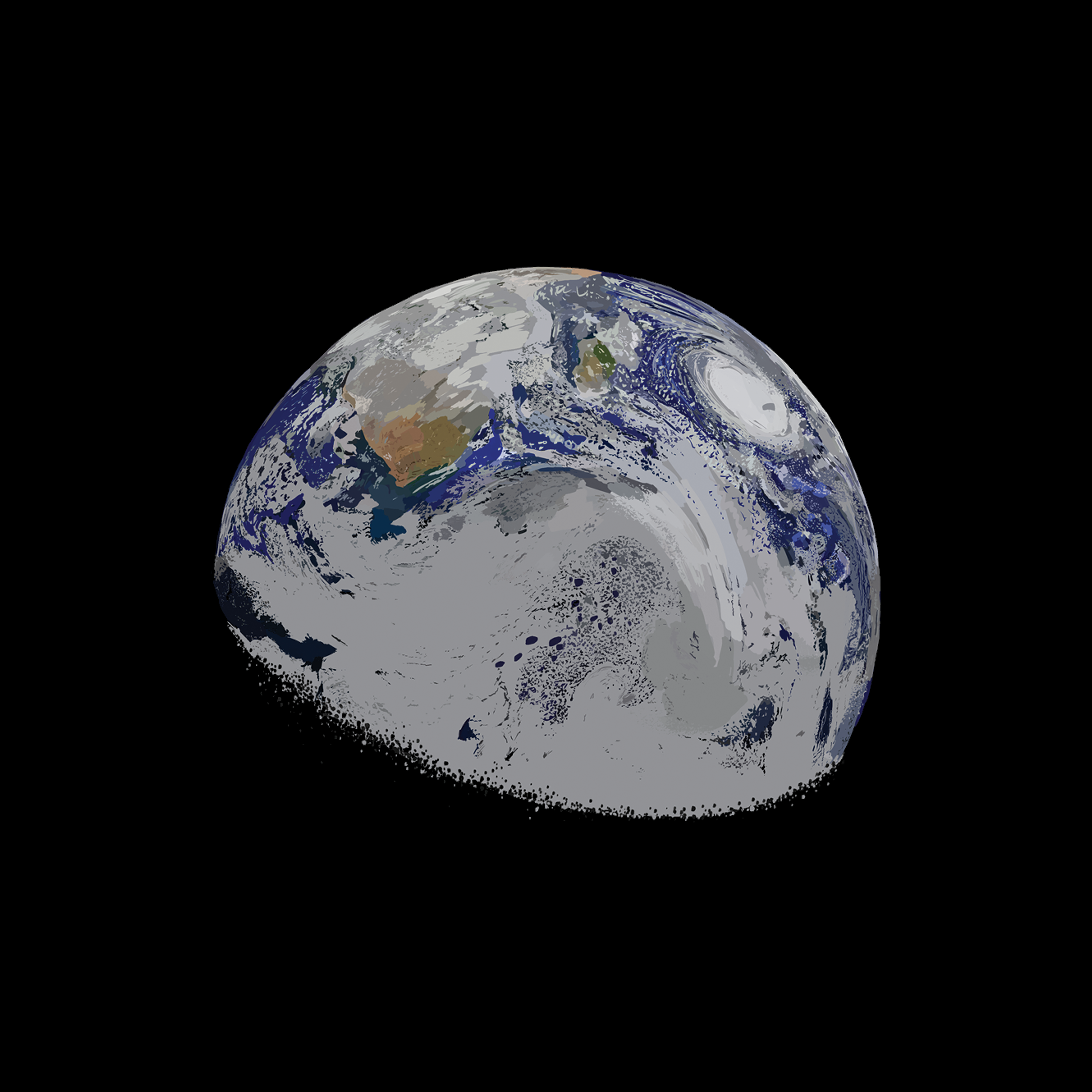
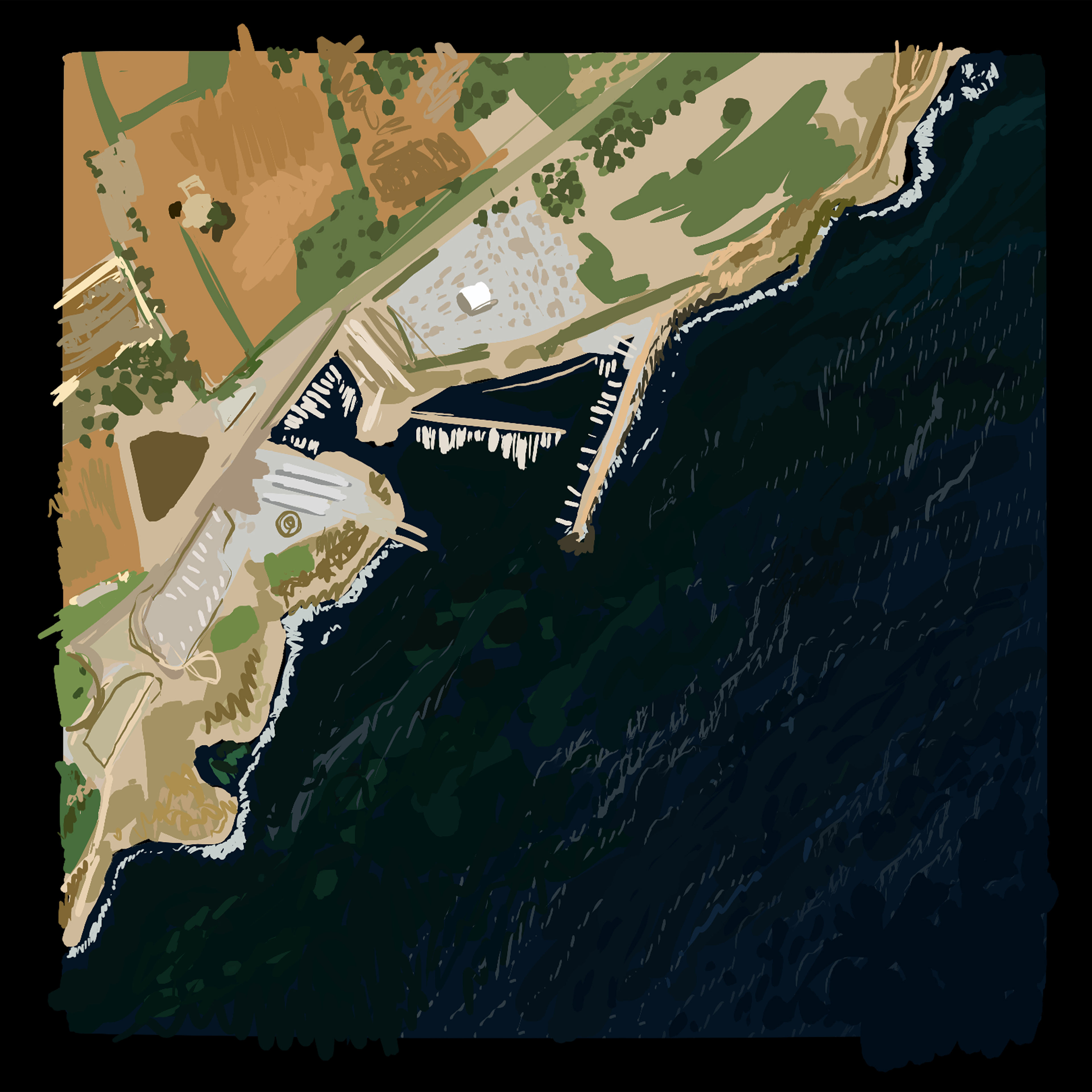
Earth from Above - Hero Image
You may also like
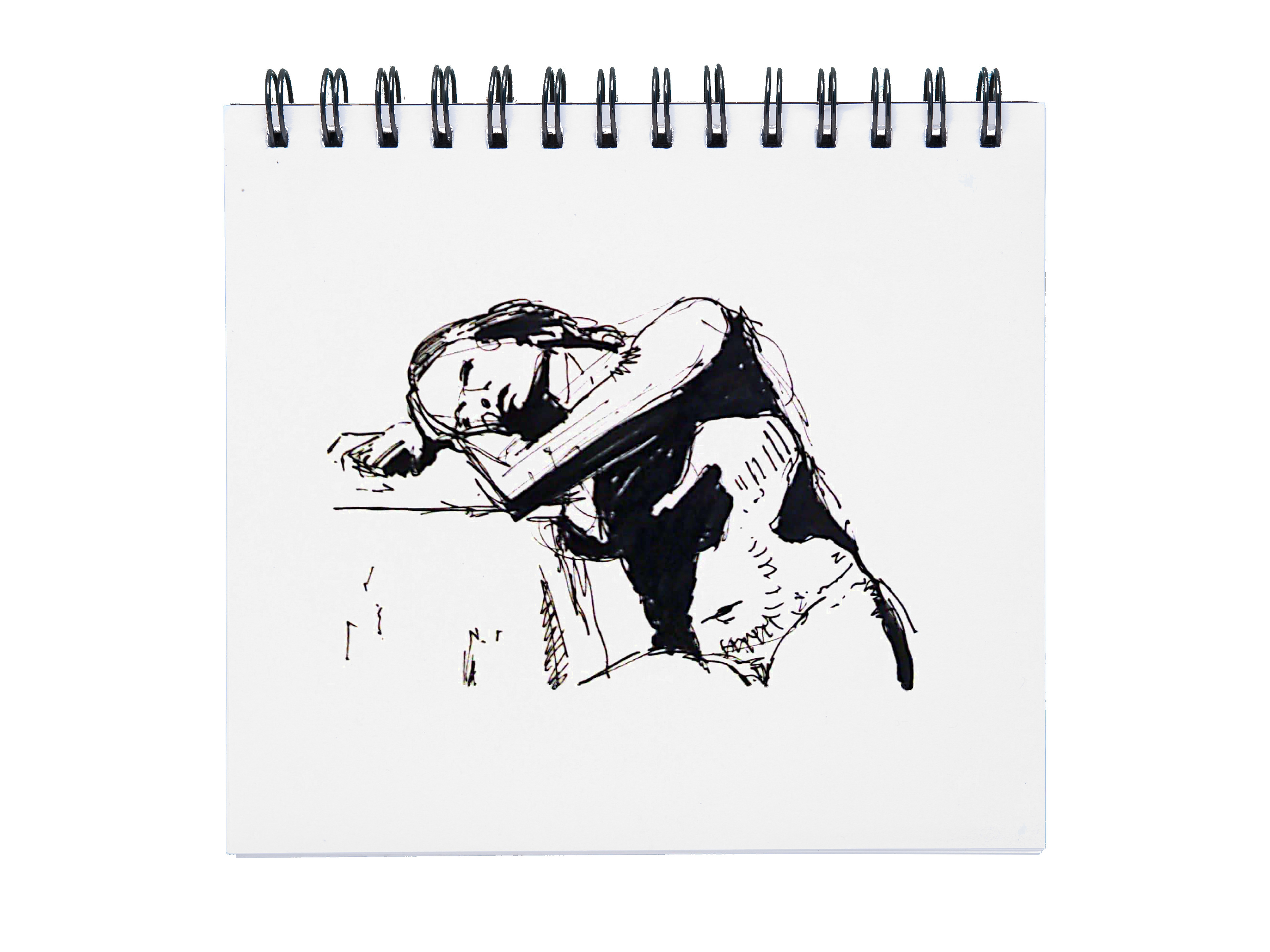
Sketchbooks
2026
Digital Sketchbook
2026
Cloud Studies
2023
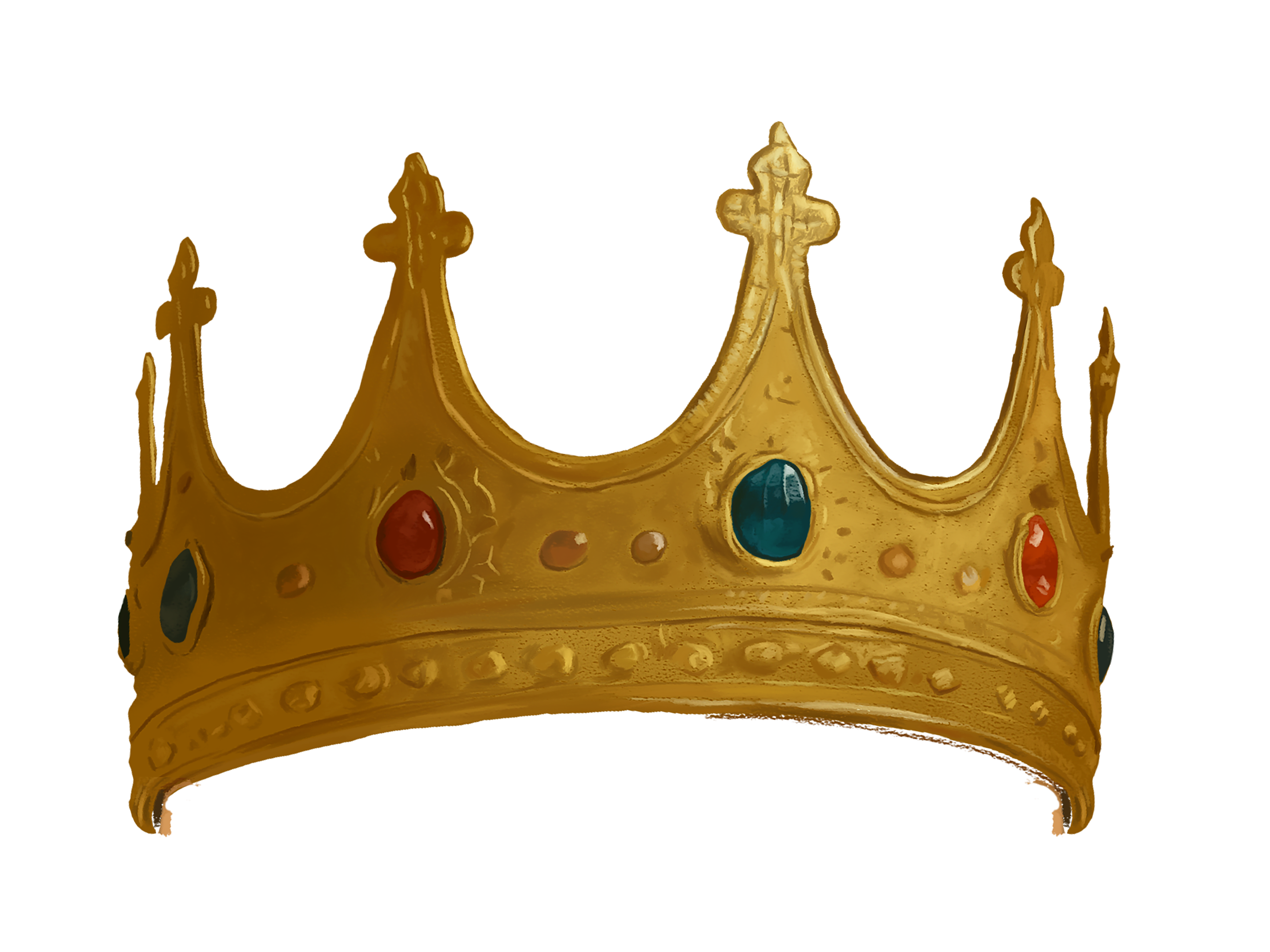
MA Graphics Explorations
2024
A Comic Strip Series
2023
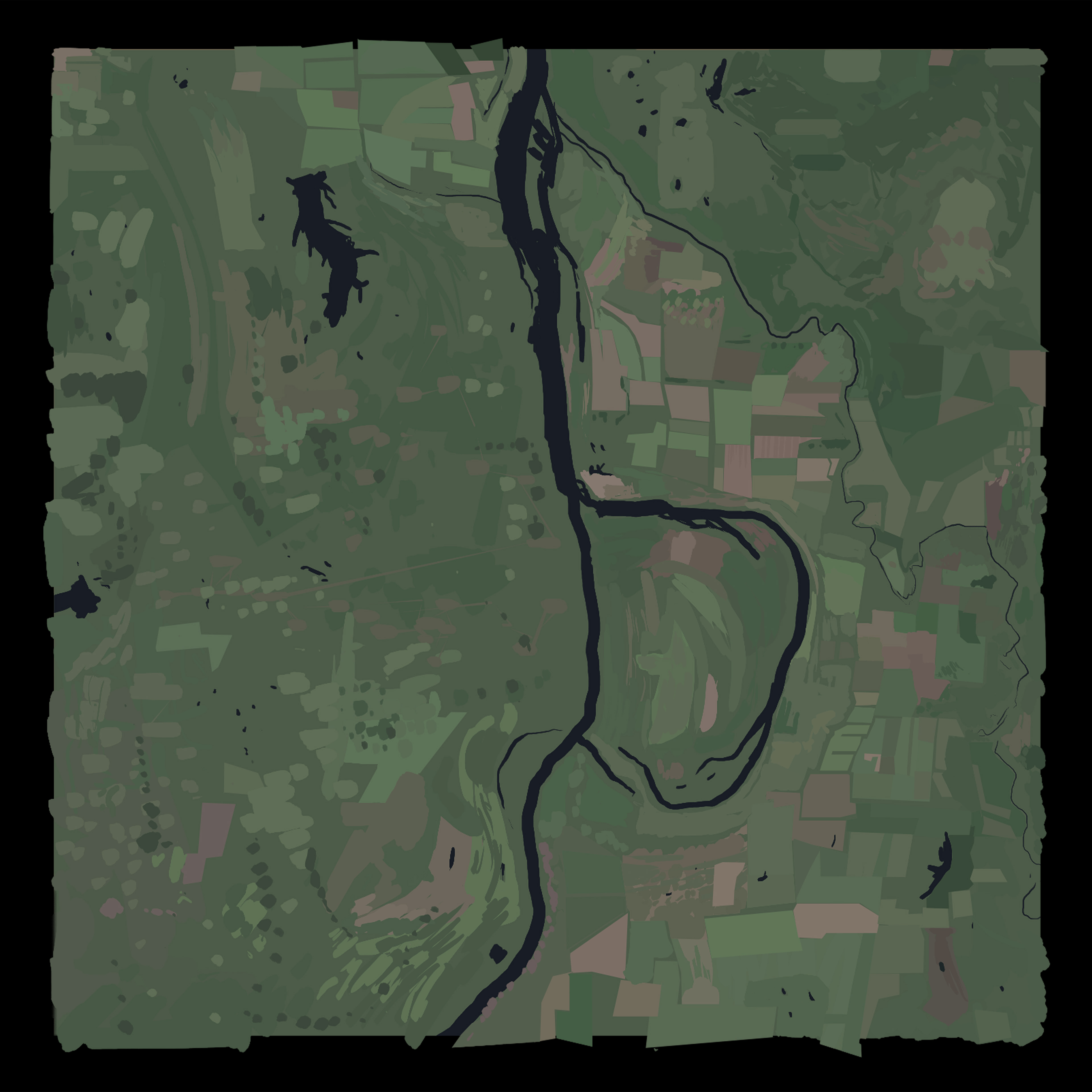
Earthscapes
2025
Product Design - Sketches
2022
Storyboarding
2023
Kaarcasb
2021
Inktober 2020
2020
↑
Back to Top